No Longer A Watch
The Winter Storm Watch has officially transitioned to a Winter Storm Warning which in effect from 10:00 AM Tuesday through noon on Wednesday. Here are all of the details from the National Weather Service in Albany.
Heavy mixed precipitation expected. Total snow and sleet accumulations of 6 to 10 inches and ice accumulations of a tenth to quarter of an inch expected. Winds gusting as high as 45 mph across the Berkshires and Taconics much of Tuesday night.
The Winter Storm Warning includes the Capital District, Helderbergs, Schoharie Valley, eastern Catskills, northern and central Taconics and the Berkshires.
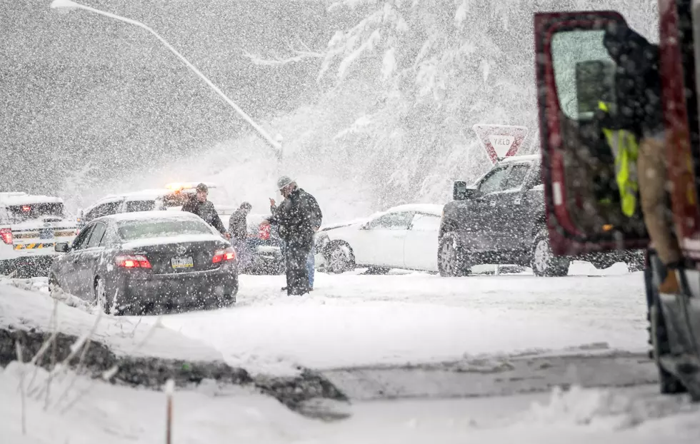
Travel will be very difficult to dangerous for the Tuesday evening commute. Snow will come down heavy at times in the afternoon mixing with sleet late in the day. A changeover to sleet and freezing rain will occur at night. Snow rates of 1 to 2 inches per hour are expected at times Tuesday afternoon. A Winter Storm Warning means significant amounts of snow, sleet and ice will make travel very hazardous or impossible.
More From WSBS 860AM


