Ski Areas Rejoice! Winter Storm Warning Joining the Party
The Winter Storm Watch has been upgraded to a Winter Storm Warning which will take effect at 7 a.m. Wednesday and will last until 7 p.m. Thursday. This storm could be a doozy as the National Weather Service is predicting 13 to 17 inches of snow, with localized amounts of up to 20 inches.
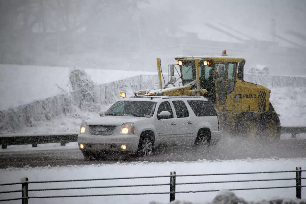
So make sure you have the shovels, snowblowers, ice scrapers, sand and salt ready to go and please, if you have to, drive carefully. Give yourself extra time and be cautious. Downshifting and engaging four wheel drive are also excellent and safe options.
Here are the full Winter Storm Warning details as posted by the National Weather Service:
* WHAT...Heavy snow expected. Total snow accumulations of 13 to 17 inches, with localized amounts up to 20 inches, are expected.
* WHERE...Southern Vermont, northwestern Connecticut and western Massachusetts.
* WHEN...From 7 AM Wednesday to 7 PM EST Thursday.
* ADDITIONAL DETAILS...Travel will be very difficult to impossible, including during the evening commute on Wednesday. Isolated to scattered power outages possible. Snowfall rates of 1 to 2 inches per hour or greater expected. Be prepared for significant reductions in visibility at times.
PRECAUTIONARY/PREPAREDNESS ACTIONS...
A Winter Storm Warning for snow means severe winter weather conditions will make travel very hazardous or impossible. If you must travel, keep an extra flashlight, food and water in your vehicle in case of an emergency.
More From WSBS 860AM